STEP 1 Data Analysis & Project Planning
We analyze provided materials, topographical maps, and satellite imagery to determine the map format and establish a comprehensive production plan.

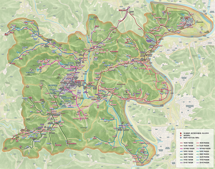
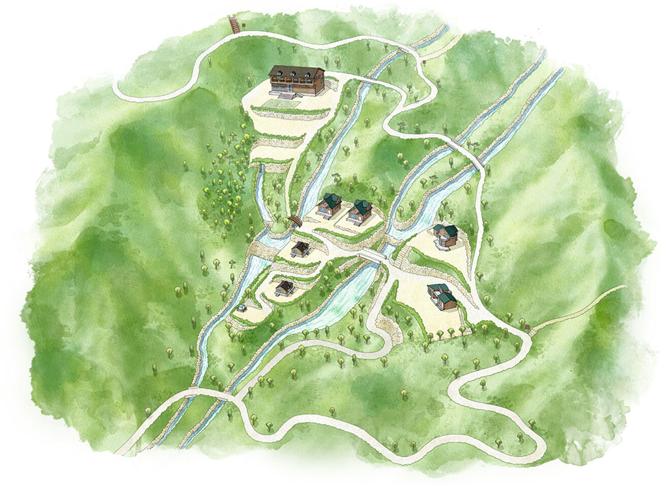
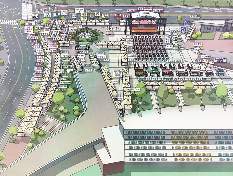
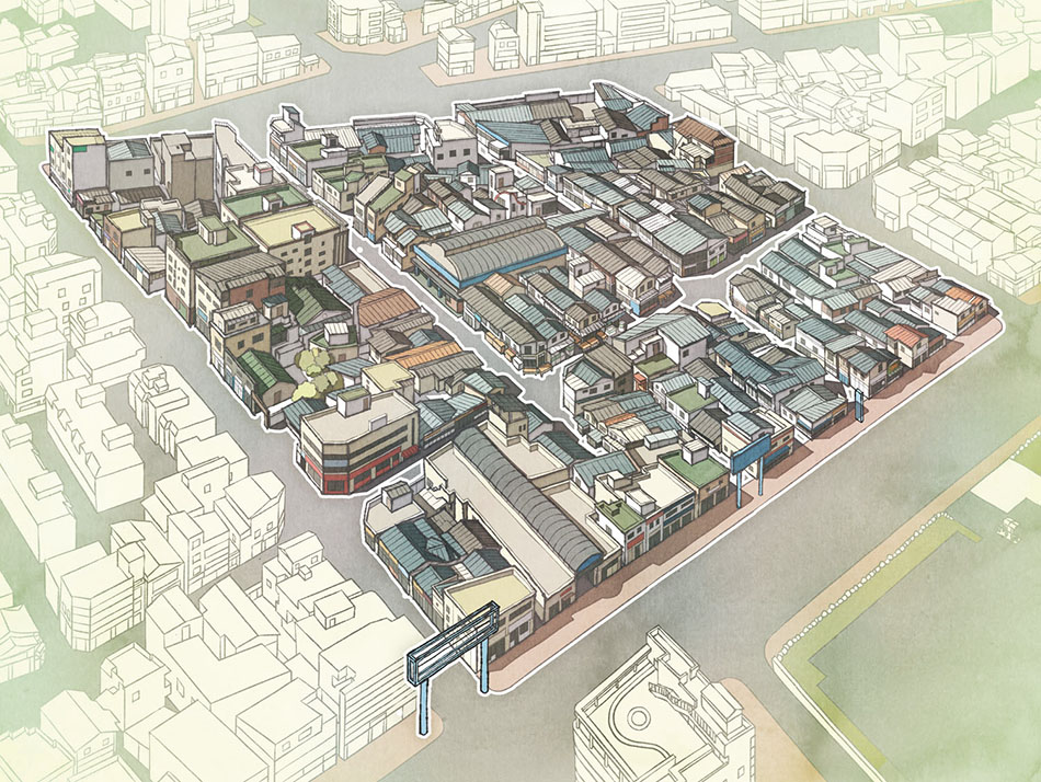
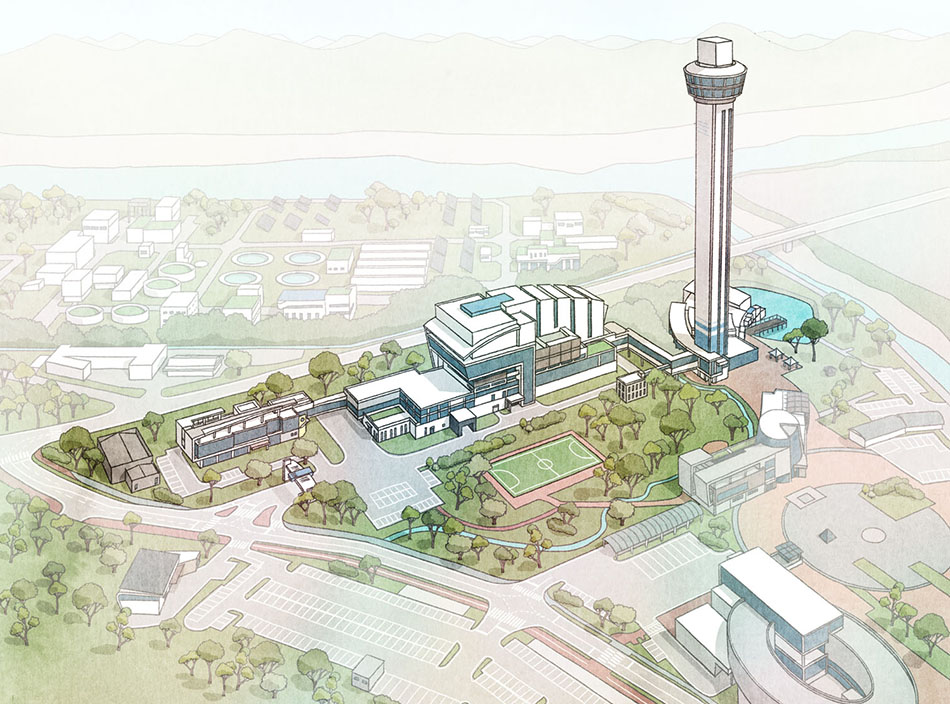
The Most Definitive Way to Define the Impression & Function of a Place
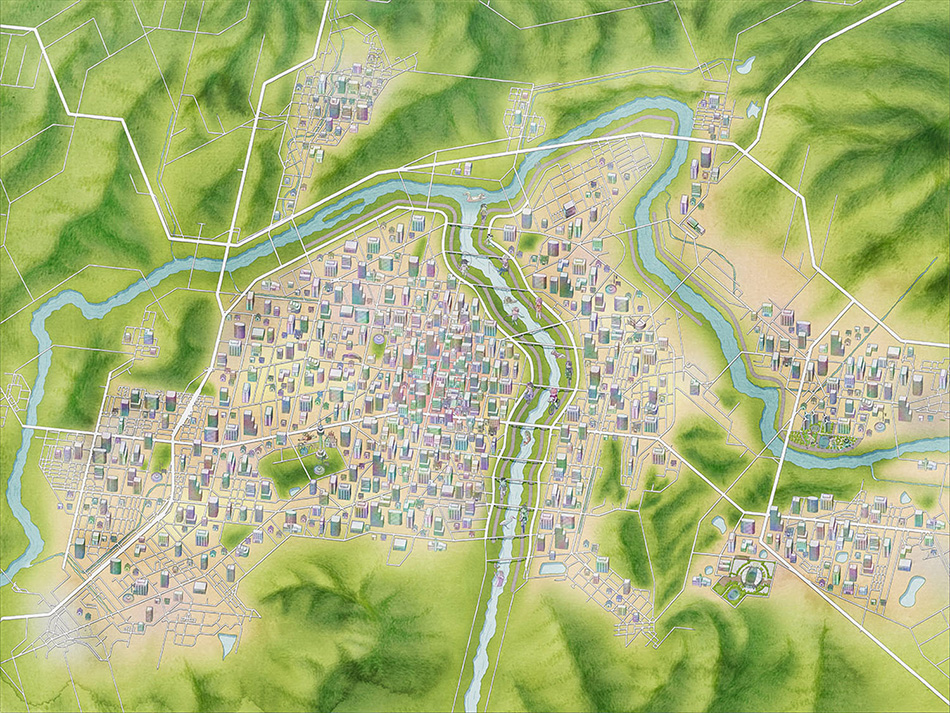
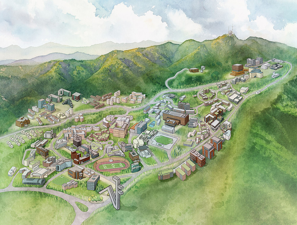
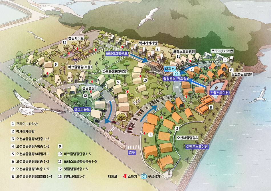
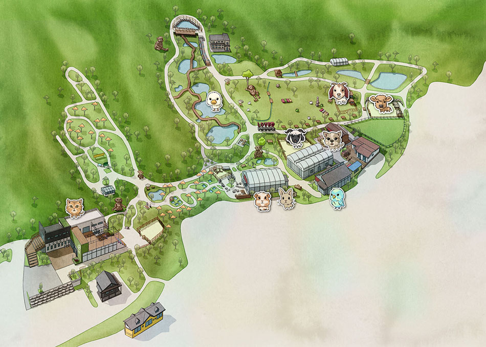
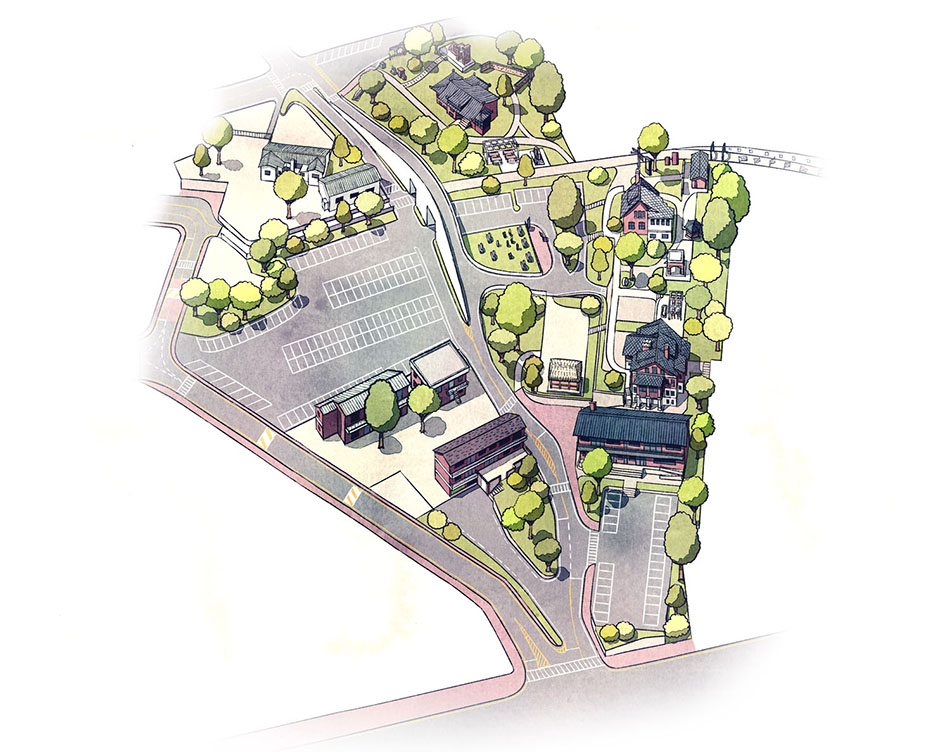
We craft intuitive, easily readable maps built upon meticulously gathered geographical data.
Through lyrical artwork, we bring out the unique atmosphere and intrinsic beauty of every location.
Click image to expand view.
Tap anywhere to close
From Purpose to Completion
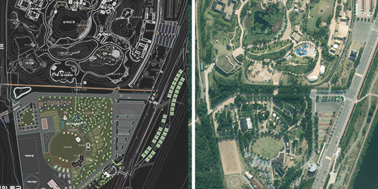
We analyze provided materials, topographical maps, and satellite imagery to determine the map format and establish a comprehensive production plan.
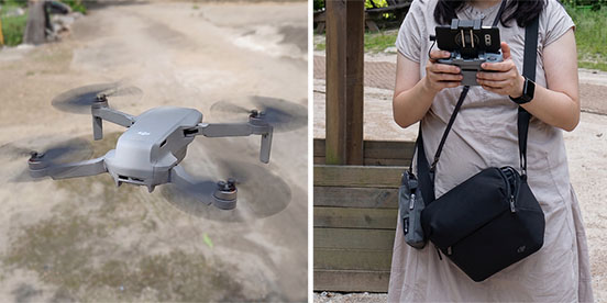
We conduct on-site visits, capture diverse aerial/ground photos, and hold face-to-face meetings when necessary to align project direction in advance.
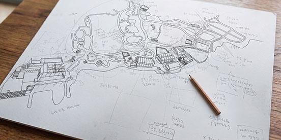
We depict terrain and key elements with visual harmony so viewers can understand them intuitively, followed by a primary client review to adjust the framework.
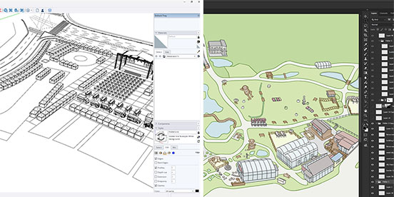
After establishing concrete shapes, we apply color, shading, and refined details to express the true impression of the environment on the map.
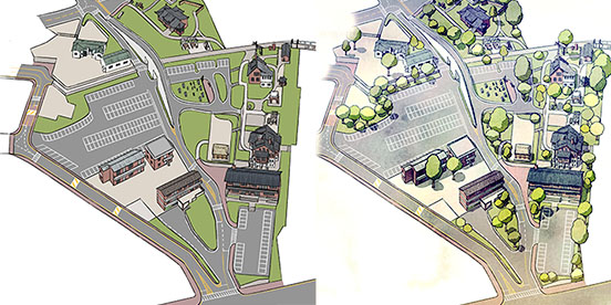
We fine-tune the artistic style and color palette to create lyrical depictions that draw people's eyes, perfectly matching the project's purpose.
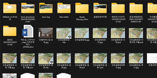
We incorporate final feedback into the artwork and deliver ready-to-use digital map files formatted specifically for immediate client application.
Technical expertise that delivers
beyond mere information display
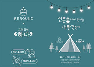
Beyond mere aesthetics, we specialize in systematically organizing and conveying information hierarchy from the perspective of user experience.
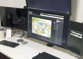
Fluent in both software and hardware, I work directly with data in many formats and carry the whole production through smoothly, without relying on outsourcing.

Drawing on years as a working illustrator across many styles and purposes, I capture the distinct character of buildings and terrain with clarity.

As a published novelist, I weave small delights and a sense of story into each map, capturing the feeling a place holds.
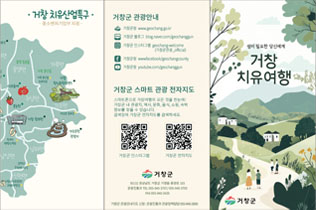
Working creatively from within the region, I strive to help revive and reawaken the historical and cultural value each place holds.
Shaping the Future
of Regions from the Region


B.F.A. in Visual Communication Design, Kyungpook National University
Guide Maps / Illustration / Editorial Design / Field Photography
Webtoon Creator & Novelist
Seoul National University Supporters Night VIP Map (2025)
Figure for a paper in Scientific Reports, a Nature Portfolio journal -
Yangsan Fault Topographic Evolution Model /
Lee et al.(2024), 14, 22131 Fig. 5 e
2011 Daegu World Championships Official Map (2011)
Q) How long does it take to produce a single map?
A) It varies with the scope and conditions of the project, but generally between 2 and 6 weeks.
Q) What regions do you work in?
A) Nationwide across Korea, and overseas as well. I travel on-site for surveys and photography when needed. For overseas projects, communication is handled preferably in writing (email).
Q) Do you handle the on-site photography yourselves?
A) Yes. We carry out all on-site data collection in-house, including drone aerial and ground photography, without outsourcing.
Q) Can a project proceed without a site visit?
A) Yes. If sufficient materials such as drawings or photographs are available, we can proceed without a visit.
(+82)-10-7170-4691